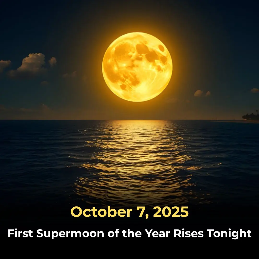
Researchers Turn Festival Wristbands into a Shield Against Drink Spiking
Facts 10/10/2025 19:00

As volcanic eruptions and earthquakes occasionally remind us, the Earth beneath our feet is constantly shifting and evolving. Though these movements are usually imperceptible in our daily lives, they’re part of a powerful, ongoing process that has been shaping the planet for billions of years.
Tectonic plates move at a rate of only 1 to 4 inches (2.5 to 10 cm) per year, but over millions of years, these seemingly small movements result in monumental changes to Earth’s surface. Continents drift, oceans open and close, and entire ecosystems are reshaped in the process.
Today’s featured map, created by Massimo Pietrobon, offers a fascinating glimpse into Earth’s ancient past. What sets Pietrobon’s work apart is that it overlays the modern-day borders of countries onto the ancient supercontinent Pangea, helping us visualize how today's world might have looked when all the landmasses were joined together as one.
Pangea—meaning “all lands” in Greek—was the most recent of several supercontinents to form throughout Earth’s geologic history. It began to take shape around 335 million years ago, during the late Paleozoic Era, and persisted until it began to break apart roughly 200 million years ago during the early Jurassic Period.
At its peak, Pangea covered about one-third of the Earth’s surface, while the remaining two-thirds was occupied by a vast global ocean called Panthalassa.
Modern scientific studies, including climate modeling and fossil records, have helped paint a more detailed picture of life on Pangea. It’s believed that the interior regions of the supercontinent were extremely arid and inhospitable, much like modern deserts in Central Asia or Africa today. Temperatures may have reached up to 113ºF (45ºC), and the scarcity of fossil evidence in these central areas supports the idea that life was sparse there.
The enormous contrast between the hot, dry landmass and the cooler ocean around it likely caused powerful monsoon systems, similar to but even more intense than what we see in South Asia today.
Despite its harsh interior, Pangea was home to a wide range of plant and animal life. The connected landmass allowed species—including early dinosaurs and mammal ancestors—to roam across continents that today are separated by vast oceans. This played a key role in the early diversification of life on land.
Around 200 million years ago, Pangea began to fragment. A massive volcanic rift zone developed, driven by rising magma from deep within the Earth. This rift eventually split the supercontinent into smaller landmasses, forming the foundation for the continents we recognize today.
This rifting zone would later become the Atlantic Ocean, which continues to widen even now due to seafloor spreading.
One of the clearest pieces of evidence of this ancient split is the complementary coastlines of modern-day Brazil and West Africa—they fit together like puzzle pieces, suggesting they were once joined. Similarly, the northeastern parts of Canada were once connected to parts of Spain and Morocco, indicating how the Atlantic Ocean now separates once-adjacent land.
The concept of plate tectonics—the movement and interaction of Earth’s lithospheric plates—is responsible for many of the dramatic features we see on Earth today. For example, the towering Himalayan Mountains were formed when the Indian subcontinent, once part of eastern Africa, collided with the Asian plate around 50 million years ago. This ongoing collision continues to push the mountains higher.
Plate tectonics is also responsible for earthquakes, volcanic activity, and the slow drift of entire continents. It's a geological process unique to Earth (as far as we currently know) and plays a fundamental role in the planet's dynamic systems.
Continental drift is incredibly slow by human standards—about 1 foot (30 cm) every 10 years. This means we’ll never witness another supercontinent in our lifetimes. However, if Earth’s tectonic activity continues as it has, the continents are expected to merge again in roughly 250 to 300 million years.
Scientists have even proposed names and models for this future supercontinent, with one of the most well-known being Pangea Proxima (also called Next Pangea).
As illustrated by simulations from the Paleomap Project, Pangea Proxima is one potential configuration where:
Australia collides with Southeast Asia, merging into the larger Eurasian landmass.
North and South America drift westward, eventually crashing into Africa and Antarctica.
The Indian Ocean shrinks, giving rise to a massive inland sea at the center of the new supercontinent.
A single massive “superocean” could encircle the landmass, much like Panthalassa once did.
This projected world would be unlike anything we know today, and any life that exists in that distant future would face entirely different environmental conditions.
The map of Pangea with modern political borders is more than just a curiosity—it’s a powerful reminder that Earth is not static, but alive with movement and change. The continents we live on today are just temporary arrangements in an ever-shifting puzzle shaped by forces deep beneath our feet.
Understanding the past not only satisfies our curiosity but also helps geologists, climate scientists, and evolutionary biologists make better predictions about the Earth’s future. Whether it’s the collision of continents or the drift of a tectonic plate, these slow-moving processes are central to the ongoing story of our planet.