They Spent Two Years Building A Border Fortress Before Discovering One Huge Problem
Fort Blunder: The American Fortress Built on the Wrong Side of the Border
After the War of 1812, the United States wanted one thing on its northern frontier: security.
Lake Champlain had already proven how dangerous that border could be. The long, narrow lake ran between New York and Vermont, stretching north toward British Canada. During the war, British forces had used the region as a possible invasion route. If another conflict came, American officials feared the same corridor could become a doorway into the United States again.
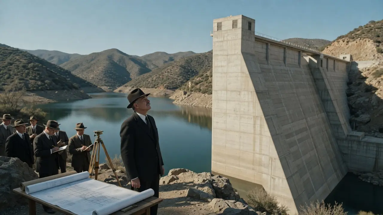
So, in 1816, the U.S. began building a powerful new fortification near Rouses Point, New York, at the northern end of Lake Champlain. It was meant to guard the lake and block any future British advance from Canada. The design was ambitious: an octagonal stone fortress with walls reported to be about 30 feet high. For a young country still learning how to defend itself, it was a serious statement.
There was only one problem.
They were building it in the wrong country.
The mistake came from the border itself. The boundary between the United States and British Canada was supposed to follow the 45th parallel. But older survey markers from the colonial period were inaccurate. When a later survey placed the true 45th parallel farther south, it revealed that the American fort was actually about three-quarters of a mile inside Canadian territory.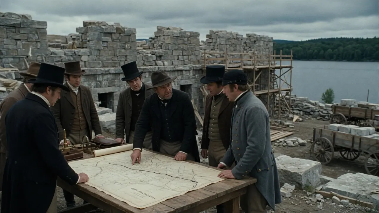
Construction stopped almost immediately.
The fort had no official grand future anymore. It was unfinished, exposed, and politically embarrassing. A military base built to defend America from Canada had accidentally been placed on land that belonged to Canada.
Locals soon gave it the name history remembers best: Fort Blunder.
For years, the abandoned structure sat near the border as a monument to bad surveying. Much of its stone was reportedly scavenged by local residents for homes and buildings nearby. What had begun as a state-of-the-art defense project slowly became a source of jokes, salvage, and embarrassment.
But the story did not end there.
In 1842, the Webster-Ashburton Treaty settled several border disputes between the United States and Britain. As part of the agreement, the land around the abandoned fort site was placed on the American side of the border. In a strange twist, diplomacy rescued the mistake. The United States had not moved the fort. The border had effectively been adjusted around it.
Two years later, in 1844, the U.S. began building a new and much larger fortification on the same site. This second fort was officially named Fort Montgomery, after Revolutionary War general Richard Montgomery. Unlike the earlier unfinished “Fort Blunder,” Fort Montgomery was a major masonry fortress, built over decades and designed to hold more than 100 cannon.
By then, the original mistake had become part of local legend.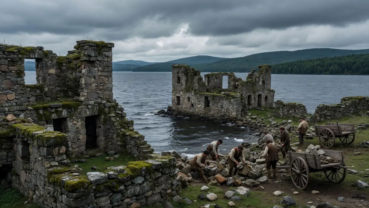
Fort Montgomery never became the scene of a great battle. Its most famous story remained the one that came before it: the time the United States tried to protect itself from Canada by accidentally building a fort in Canada.
The legacy of Fort Blunder is not about combat. It is about borders, maps, and how even governments can make enormous mistakes when geography is misunderstood.
In the end, the fort became a reminder that history is not only shaped by wars and treaties. Sometimes, it is shaped by a surveyor’s line on a map.
Tags:
News in the same category
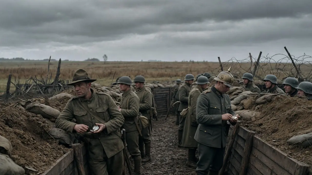
The Only World War II Land Battle Fought in North America Ended in a Way Few Could Have Imagined
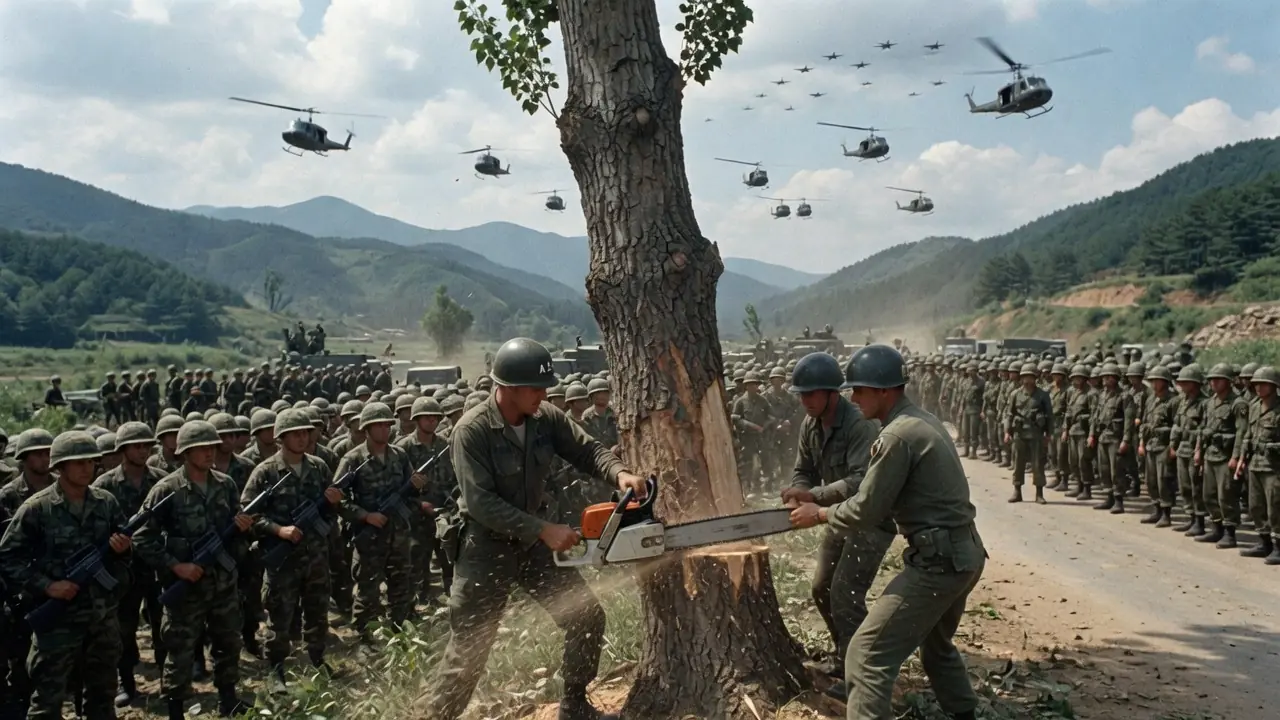
Two U.S. Officers Were Killed Over a Tree—Three Days Later, America Sent a Response No One Expected

When the Pope Announced Something No One Had Heard in Nearly 600 Years, Even the Cardinals Thought They Misheard Him
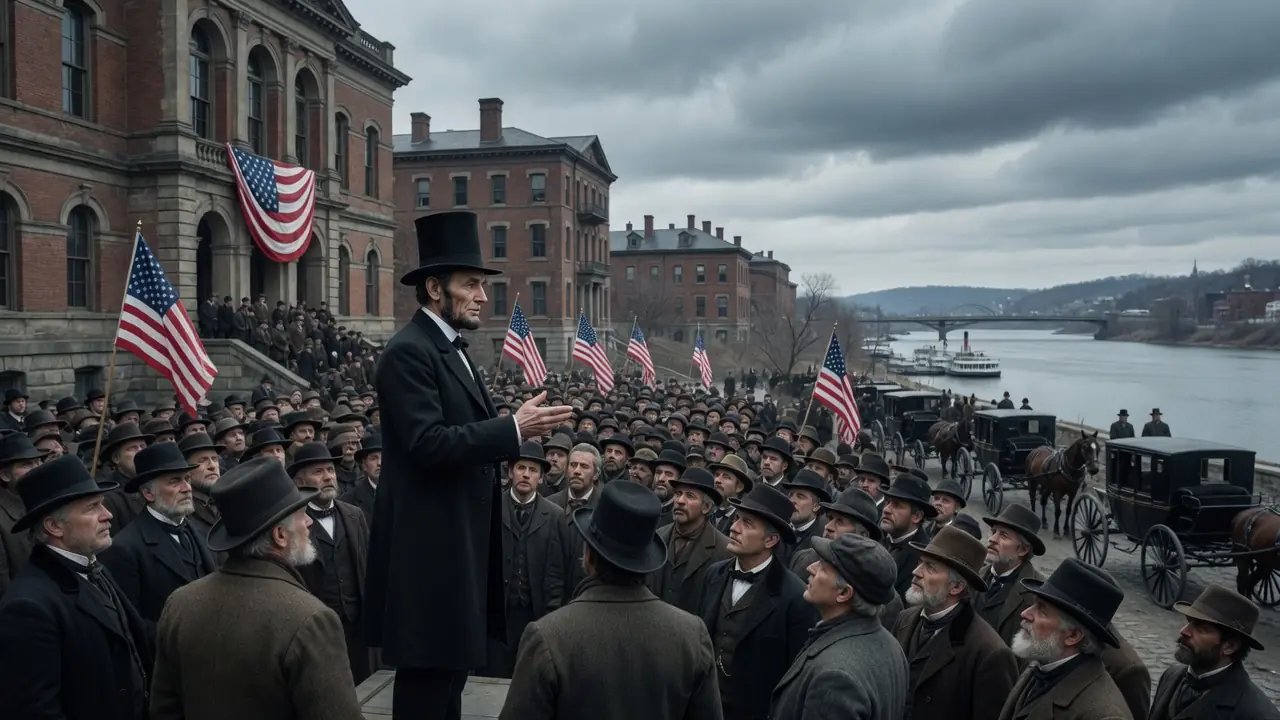
On His Birthday, Abraham Lincoln Made One Last Plea That He Hoped Would Save the United States

The World's Most Powerful Warships Kept Firing at Each Other... But Something Impossible Happened Instead
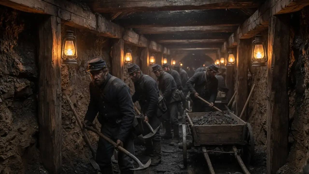
They Secretly Dug a Tunnel for Weeks Beneath the Enemy—Then They Lit the Fuse
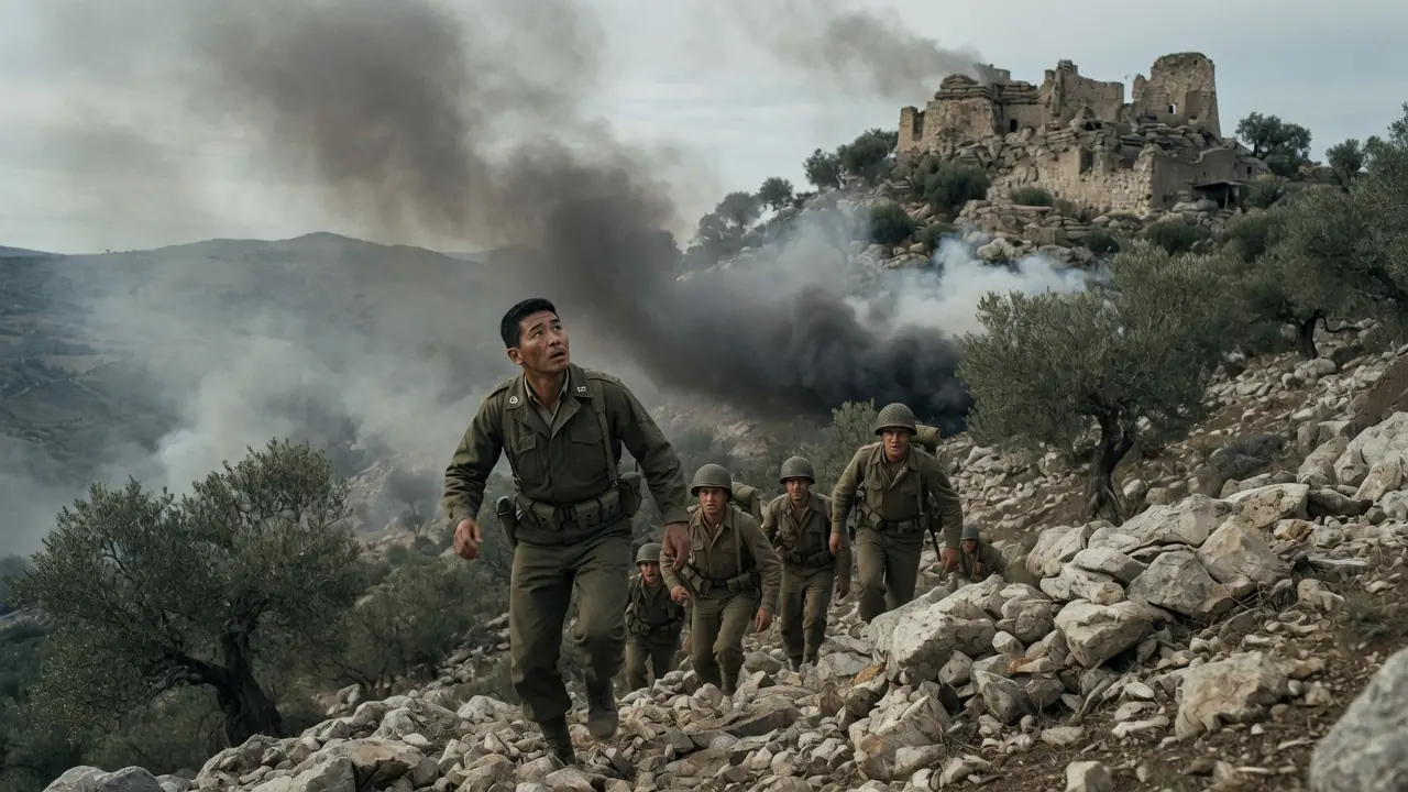
A Single Decision on a World War II Battlefield Changed Daniel Inouye's Life Forever
Everyone Believed This Dam Was Perfectly Safe... Until the Middle of the Night Changed Everything
They Flew Wooden Biplanes So Outdated That the Enemy Never Expected Them to Become Legends

Two Prospectors Claimed They Had Found a Mountain of Diamonds—America Believed Them

The Soldiers Were Ordered to Arrest Napoleon—But One Sentence Changed Everything
A Television Crew Accidentally Uncovered One of the Strangest Secrets in Carnival History

One Impossible Moment During the War of 1812 Left Even Experienced British Sailors Staring in Disbelief
News Post

They Humi-liated Him at Prom Night — Then They Discovered Who He Was
They Humi-liated Him at Prom Night — Then They Discovered Who He Was
The Day American And German Soldiers Fought Side By Side

Unaware Ex wife Is The Company Owner, He Invited Her To Humiliate Her at The Gala But He Regretted
Unaware Ex wife Is The Company Owner, He Invited Her To Humiliate Her at The Gala But He Regretted
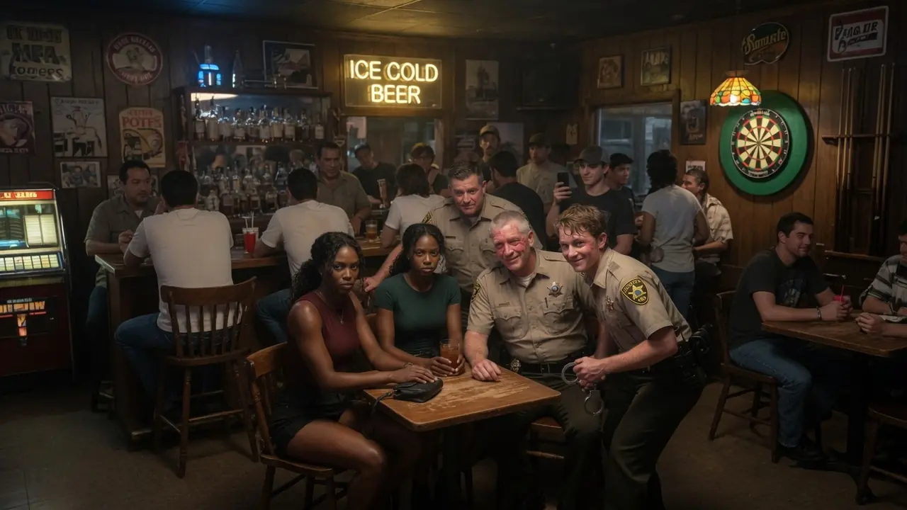
Black Twins Threatened By Cops At Bar, Unaware They Are Both FBI Agents
Black Twins Threatened By Cops At Bar, Unaware They Are Both FBI Agents

Rookie Cop Arrests FBI Agent — Dashcam Ends His Career
Rookie Cop Arrests FBI Agent — Dashcam Ends His Career

Racist Gate Agent Tried to Stop Her Flight, Then Federal Justice Arrived
Racist Gate Agent Tried to Stop Her Flight, Then Federal Justice Arrived
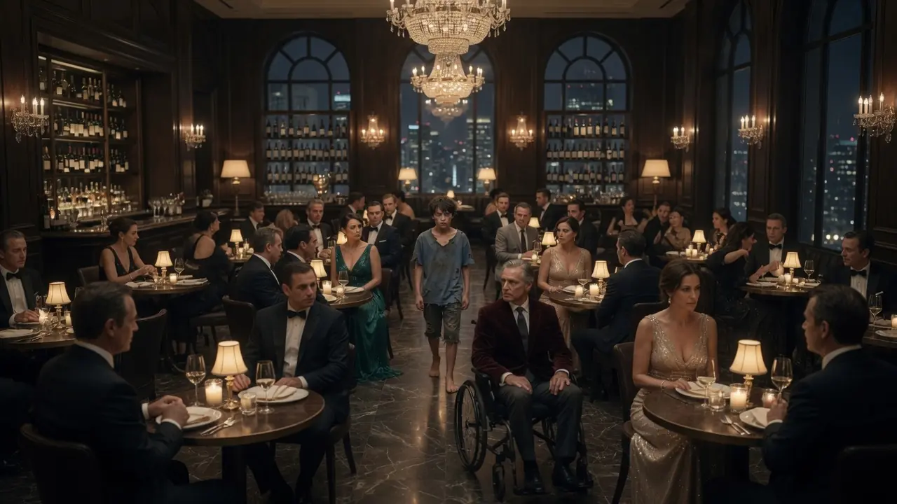
He Thought His Legs Were Dead — Until a Hungry Boy Remembered the Woman He Had Forgotten
He Thought His Legs Were Dead — Until a Hungry Boy Remembered the Woman He Had Forgotten
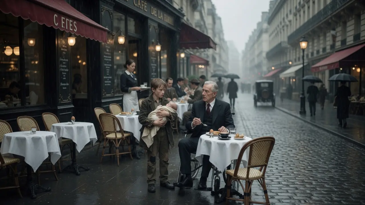
He Laughed at the Beggar Boy — Until the Baby in His Arms Carried His Blood
He Laughed at the Beggar Boy — Until the Baby in His Arms Carried His Blood

She Was Raised Beneath the Palace Stairs — Until Ice Water Revealed the Crown on Her Skin
She Was Raised Beneath the Palace Stairs — Until Ice Water Revealed the Crown on Her Skin
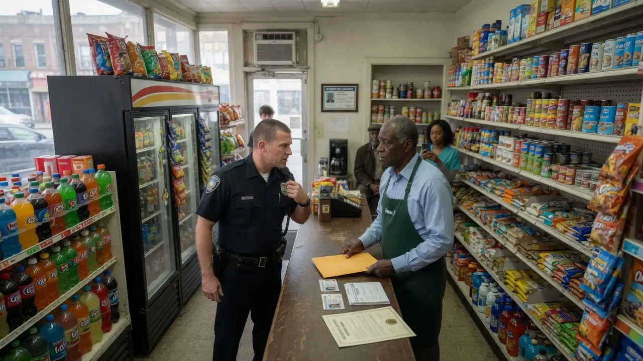
Officer Orders Black Man Out of His Own Store — Deed Proves Ownership
Officer Orders Black Man Out of His Own Store — Deed Proves Ownership

Black Female CEO Was Accused Of Stealing Her Own Car — 10 Minutes Later, She Made The Police Chief Hand Over His Badge
Black Female CEO Was Accused Of Stealing Her Own Car — 10 Minutes Later, She Made The Police Chief Hand Over His Badge

Billionaire’s Sister Threw Wine on a Black CEO — Hours Later, a $2.7B Deal Was Dead
Billionaire’s Sister Threw Wine on a Black CEO — Hours Later, a $2.7B Deal Was Dead

Black CEO Humiliated With Cake by White Heiress — Minutes Later, She Kills a $4.9B Deal
Black CEO Humiliated With Cake by White Heiress — Minutes Later, She Kills a $4.9B Deal

Bank Teller Tosses Black CEO’s ID—Minutes Later, a $7B Deal Disappears in Silence
Bank Teller Tosses Black CEO’s ID—Minutes Later, a $7B Deal Disappears in Silence

Rich Woman Accuses Black Neighbor Of "Hitting" Her — Unaware He's A Federal Judge
Rich Woman Accuses Black Neighbor Of "Hitting" Her — Unaware He's A Federal Judge
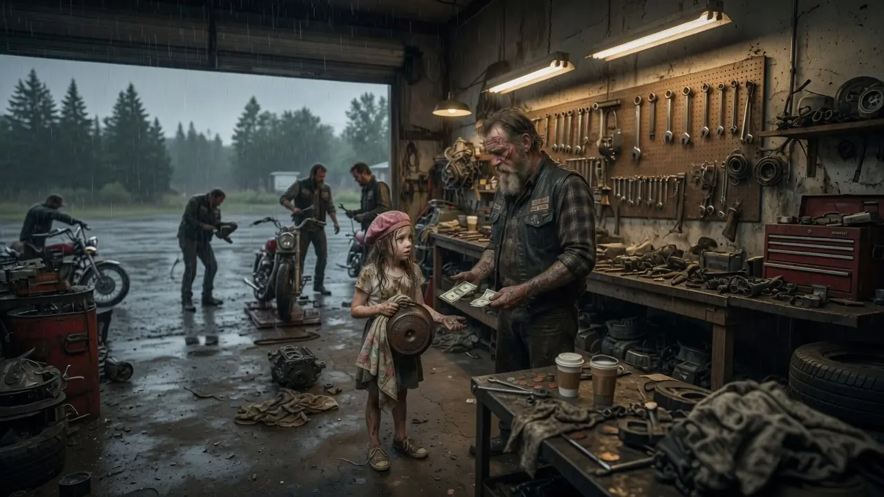
Little Girl Asked a Biker to Fix Dad’s Old Bike — What Hells Angels Did Brought Tears
Little Girl Asked a Biker to Fix Dad’s Old Bike — What Hells Angels Did Brought Tears

Junkyard Girl Found A Broken Motorcycle Belonging To An Old Hells Angel Biker
Junkyard Girl Found A Broken Motorcycle Belonging To An Old Hells Angel Biker

The CEO Slept Through The Flight On A Single Dad’s Shoulder — What Happened After Landing Stunned Everyone
The CEO Slept Through The Flight On A Single Dad’s Shoulder — What Happened After Landing Stunned Everyone
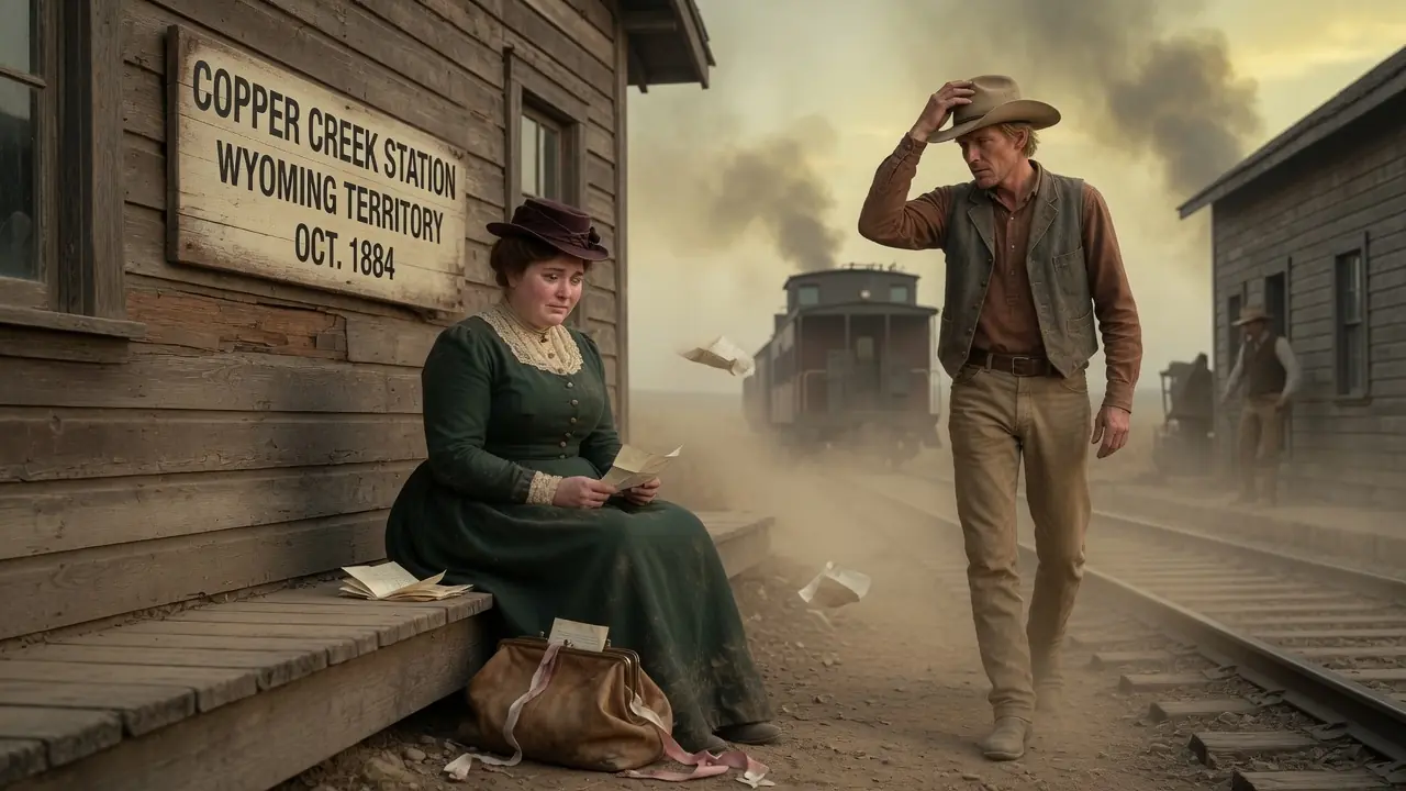
Abandoned “Too Fat” Bride Left at Train Station… A struggling Rancher Marries Her That Same Day
Abandoned “Too Fat” Bride Left at Train Station… A struggling Rancher Marries Her That Same Day